Campbell Pass
|
Campbell Pass |
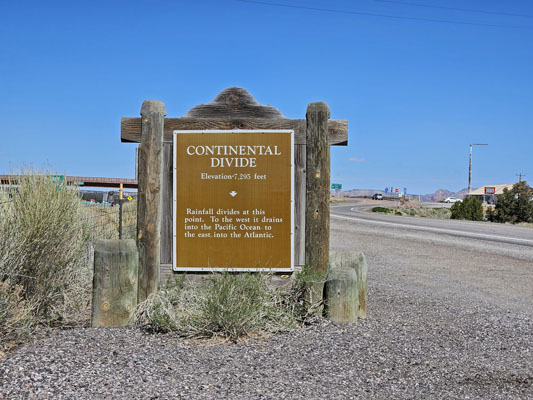
Campbell Pass - McKinley County - New Mexico - 7,275 feet - on the Continental Divide
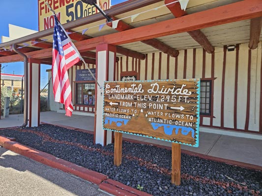
Atlantic Ocean to east. Pacific Ocean to west.
I-40 exit 47 (US-66) at Continental Divide, New Mexico
pavement - road bike
photos by Randy Bishop, 5/15/2025
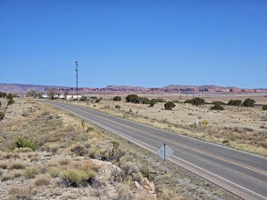
East of the summit on old US-66. |
East of the summit on old US-66. |
At the summit, on north side of I-40. |
At the summit, in the median of I-40. |
At the summit, on north side of I-40. |
At the summit, on north side of I-40. |
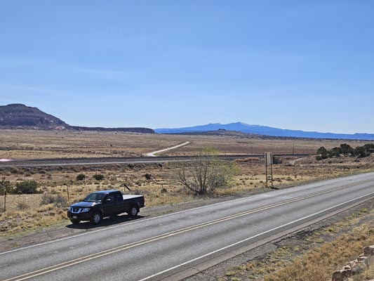
On west side of the summit on old US-66. |
On west side of the summit on old US-66. |

Google Maps |

Google Maps |

Google Earth |

Google Earth |

Garmin MapSource |
photos by Randy Bishop, 4/28/2019

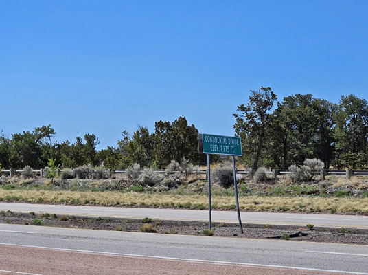
At the summit, on south side of I-40. |

At the summit, looking across I-40. |

At the summit, looking across I-40. |

At the summit, on south side of I-40. |
photos by Randy Bishop, 5/12/2012

At the summit, on south side of I-40. |

At the summit, on south side of I-40. |

At the summit, looking west. |

At the summit, on south side of I-40. |

At the summit, on north side of I-40. |

At the summit, looking west. |

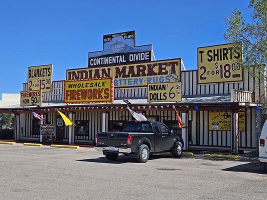
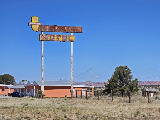
Old Whiting Bros sign. |

At the summit, on north side of I-40. |

At the summit, on north side of I-40. |

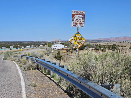
At the summit, on north side of I-40, heading east on NM-122 (original US-66). |

Route 66: EZ66 Guide for Travelers, 5th Edition by Jerry McClanahan
Of all the Route 66 books I have, this one has the very best maps and
directions to keep you on the old bits of US-66 (about 80% of the old
highway can still be driven) and to alert you to photo oportunities and attractions.