
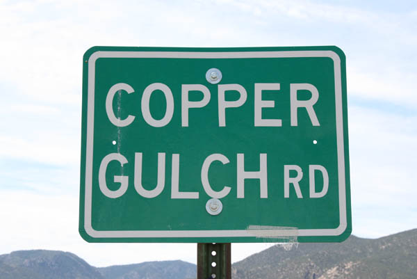
Copper Gulch Divide
|
Copper Gulch Divide |
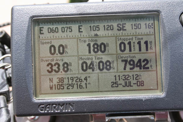
Copper Gulch Divide - Fremont County - Colorado - 7,927 feet
Copper Gulch to north. Texas Creek to south.
CR-27A south of Parkdale
north side - paved - road bike
south side - gravel - dual sport
#118 - photos by Randy Bishop, 7/25/2008
About 2 miles south of Parkdale. |
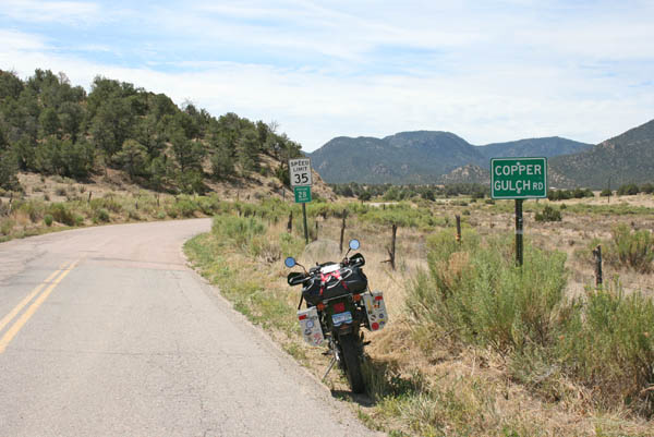
About 2 miles south of Parkdale.. |
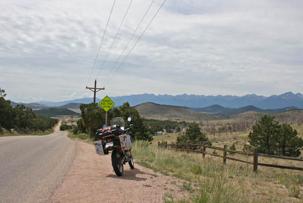
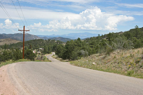
At the summit, looking south. |
At the summit, looking north. |
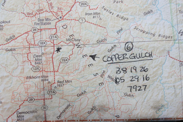
The map. |
At the summit. |
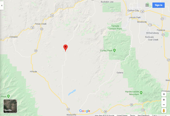
Google Maps |
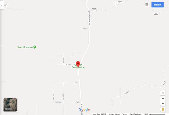
Google Maps |
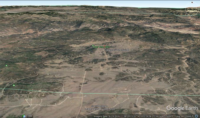
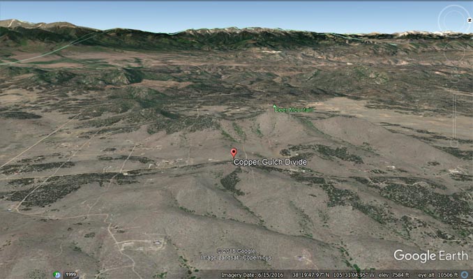
Google Earth |
Google Earth, looking west. |

Garmin MapSource |
| Feature Name | ID | Class | County | State | Latitude | Longitude | Ele(ft) | Map | BGN Date | Entry Date |
| Copper Gulch Divide | 191826 | Gap | Fremont | CO | 391926N | 1052916W | 7930 | Iron Mountain | - | 13-OCT-1978 |