|
|
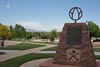
BMW Motorcycle Club of Colorado
|
|
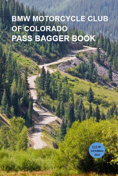
BMW MCC Pass Bagger Book |
Basic information about geographic coordinates (latitude and longitude).
Sanborn Souvenir Co., mid-1940s |
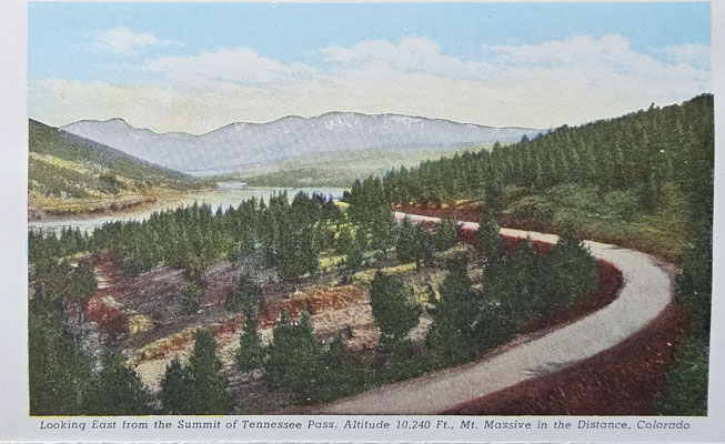
Tennessee Pass |
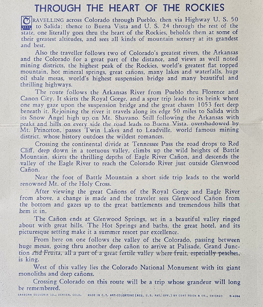
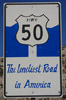
Through the Heart of the Rockies |
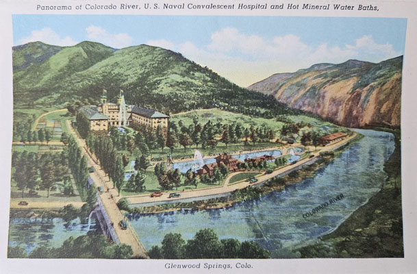
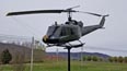
U.S. Naval Convalescent Hospital |
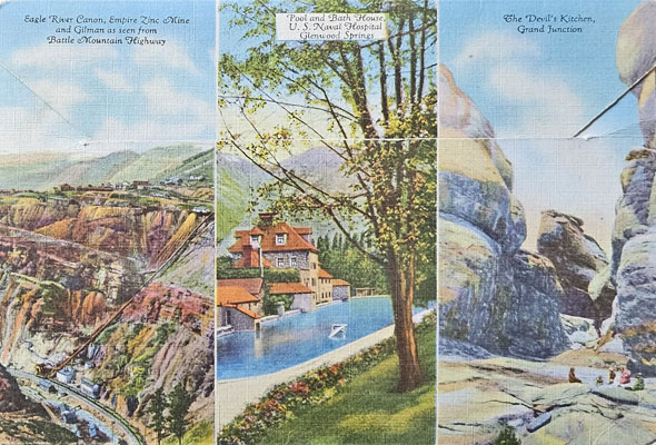
Battle Mountain Highway |
 |
 Camp Wood to TX-41 |
 Leakey to TX-41 |
 Medina to Camp Wood |
 |
 Terlingua to Presidio |
 Colorado's Four Corners
 |
 Colorado's Tripoints
 |
 Other Geographic POIs
|
 Colorado Historic Markers
 |
 Colorado Courthouses
 |
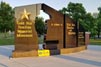
 Welcome to Colorful Colorado
|
 Colorado Trains
 |
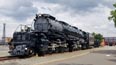 Union Pacific Big Boy Locomotives
 |
 Boy Scout Replicas of Statue of Liberty
|
 Liberty Bell Replicas
 |
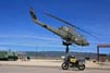
 Soldierstone Southeast Asia Veterans Memorial
|
 Tour of Honor
2012 |
 Tour of Honor
2013 |
 Tour of Honor
2014 |
 Tour of Honor
2015 |
 Tour of Honor
2016 |
 Tour of Honor
2017 |
 Tour of Honor
2018 |
 Tour of Honor
2019 |
 Tour of Honor
2020 |
 Tour of Honor
2021 |
 Tour of Honor
2022 |
 Tour of Honor
2023 |
 Tour of Honor
2024 |
 Tour of Honor
2025 |
|
BMW MOA Grand Coddiwomple 2021 |
BMW MOA Grand Coddiwomple 2022 |
BMW MOA Grand Coddiwomple 2023 |
 GLMC Grand Tour 2014
|
 GLMC Grand Tour 2015
|
 GLMC Grand Tour 2016
|
|
1998 |
1999 |
2004-11 |
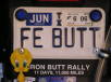 IBA and LD License Plates
 |
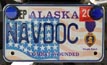 Veteran, law enforcement and fire fighter license plates.
|
 1919 M&ATA LDrider Medals
|
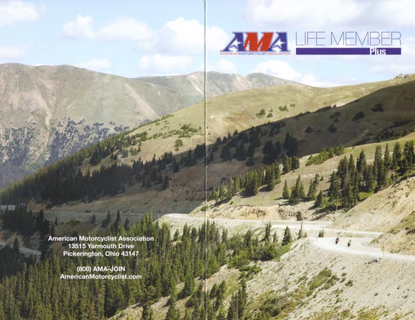
photo from AMA Life Member brochure, 02/2013
Join the American Motorcyclist Association.
It is $ well spent.
Looking east from Loveland Pass. |
From "The Passes of Colorado" by Ed and Gloria Helmuth: "We have chosen to define a pass as the point used to cross a ridge that divides
two watersheds. "Divide" and "saddle" are other descriptive words sometimes used to identify passes. Most passes are the low point between
two higher points and are shaped as a saddle; "divide" describes the water division. Some passes are named "gap", yet meet the criteria
of a pass as given here. ... Any low spot in a mountain range could be considered a pass; however, we recognize in this book only those
locations that have had use as a trail, railroad crossing, or roadway, and that have been or are known with a pass name. Other low spots
are crossed with roads; however, if no name has ever been associated with such a locale, it is not listed in this work. Some passes are
no longer used. If there had once been a use for such a crossings and a name had been given, those passes are included. Now, what a pass
is not. A pass is not a gap - a gap is not a pass. A gap is cut through a rock or mountain barrier that has usually been formed by water.
A gap has no watershed division associated with it; rather, the same watershed is present on both sides of the gap."
From "Hiking the Highest Passes of Colorado" by Bob Martin: "Besides the passes with official names, there are many passes in Colorado
that are known by unofficial names. Such names are not shown on the United States Geological Survey topographic maps and have not been
approved by the United States Board on Geographic Names. However, such unofficial names often are used in reference books and may be
common in local usage. Consequently, many of the passes with unofficial names are better known than some passes with official names."
From "Mountain Passes" by Clyde and Chloe Edmundson: "...what is a pass? Passes are sometimes called divides, gaps or notches but the
basic characteristic of a pass is that it divides two major watersheds." The Edmundsons use the word "recognized" in several places: "The
fundamental purpose of this book is to name (list), to locate and to describe the recognized passes, gaps, and divides in Colorado."
"In the above list of passes, gaps and divides, we have always included the names of official maps to show where they are located. All
are recognized by present day catographers."