
Tenderfoot Pass
|
Tenderfoot Pass |
Tenderfoot Pass - Teller County - Colorado - 10,200 feet
Spring Creek to north. Cripple Creek to south.
CO-67 north of Cripple Creek
paved - road bike
photos by Randy Bishop, 5/3/2014
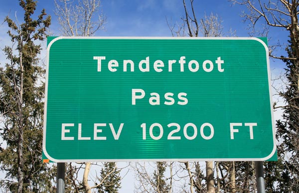
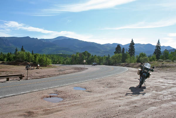
At the summit. |
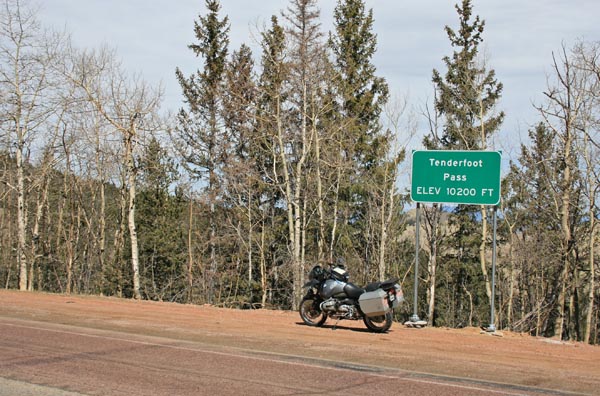
At the summit, looking north. |
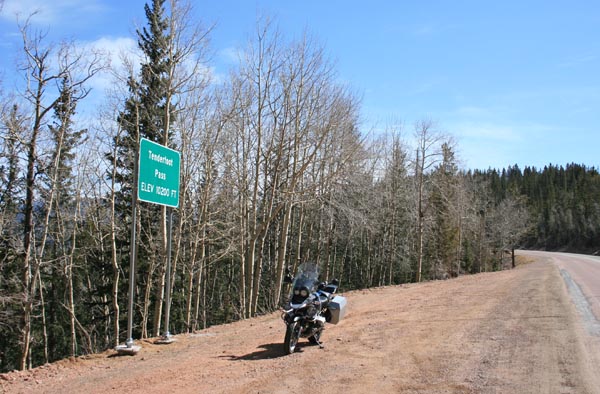
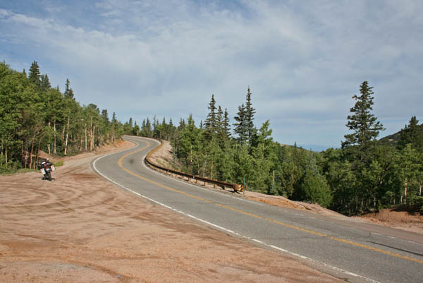
At the summit, looking east. |
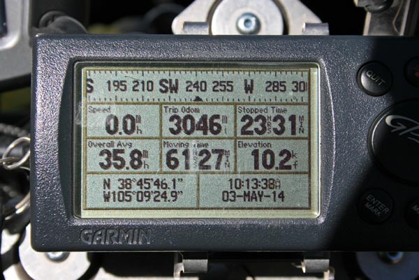
At the summit. |
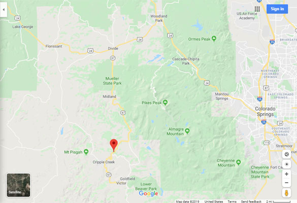
Google Maps |
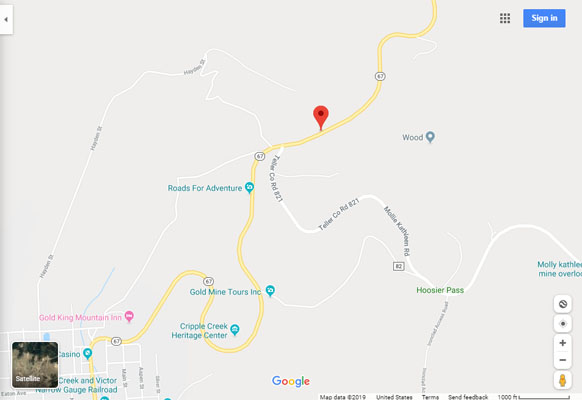
Google Maps |
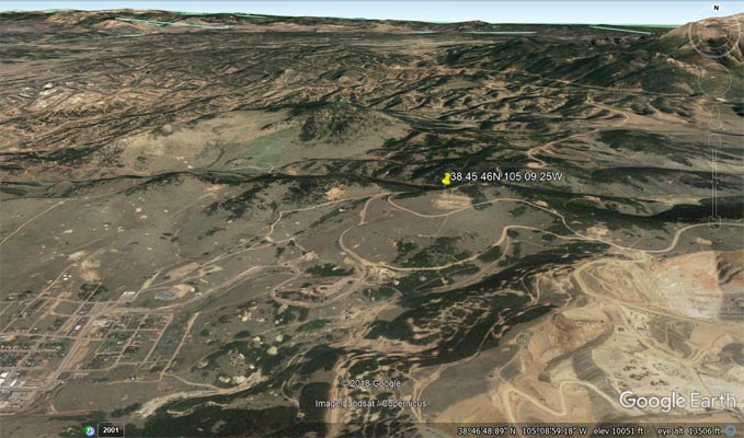
Google Earth |
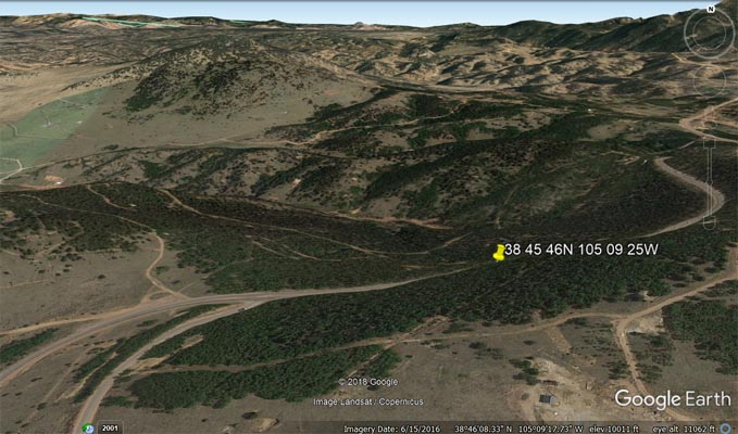
Google Earth |

Garmin MapSource |
#113 - photos by Randy Bishop, 7/25/2008
At the ski area, looking east. |
At the ski area, looking west. |
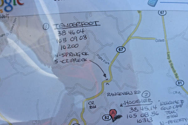
The map. |
At the ski area. |
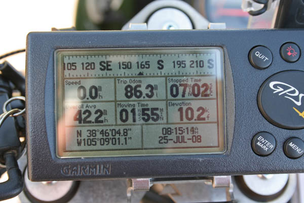
Above photos taken at 38 46 04.8N 105 09 01.1W.
The pass may have crossed CO-67 about 0.4 miles southwest at 38 45 50N 105 09 16W.
It just isn't clear from the Helmuth's description or from Google satellite views.
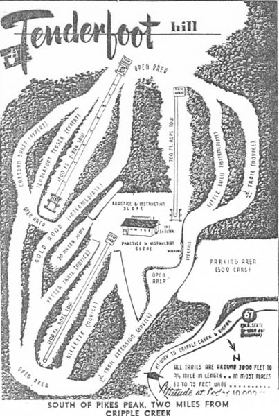
Tenderfoot Hill Ski area, built in the early 1950s. |
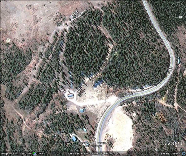
Google Earth view of the ski area, 10/15/2010. |
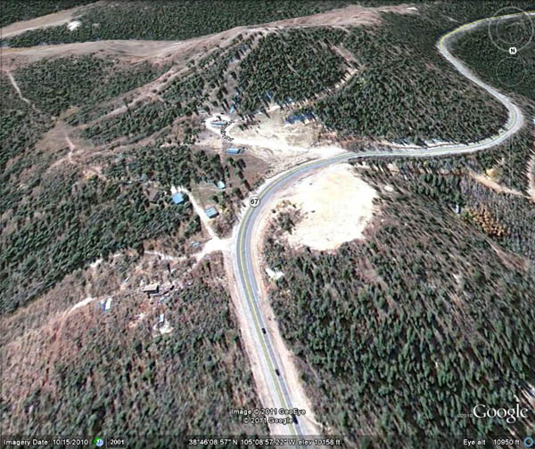
Google Earth view of the ski area, 10/15/2010. |
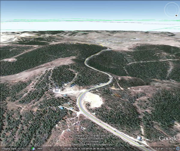
Google Earth view, looking south toward Cripple Creek, 10/15/2010. |